
SkyForge Blog
Insights for construction teams
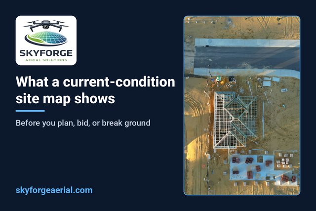
What a Current-Condition Site Map Shows Before You Plan, Bid, or Break Ground
One dated, top-down map of the property so planning, bids, and mobilization start from the ground as it is today.
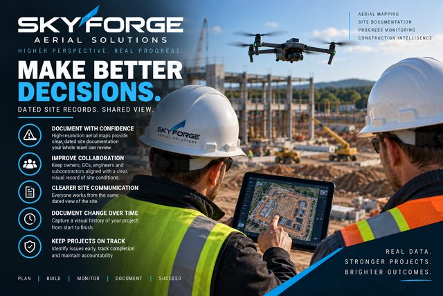
How a Dated Aerial Record Supports Weekly Construction Coordination
One time-stamped site view for supers, PMs, and owners, so weekly meetings start from the same picture.
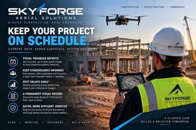
What to Ask Before Booking Recurring Aerial Progress Flights
A buyer checklist covering cadence, access, deliverables, and honest Part 107 boundaries.
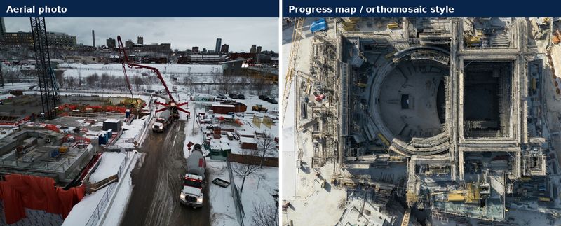
Aerial Photos vs Progress Maps: What Construction Teams Actually Need
Marketing stills and ops documentation both use a drone, but they answer different jobsite questions.
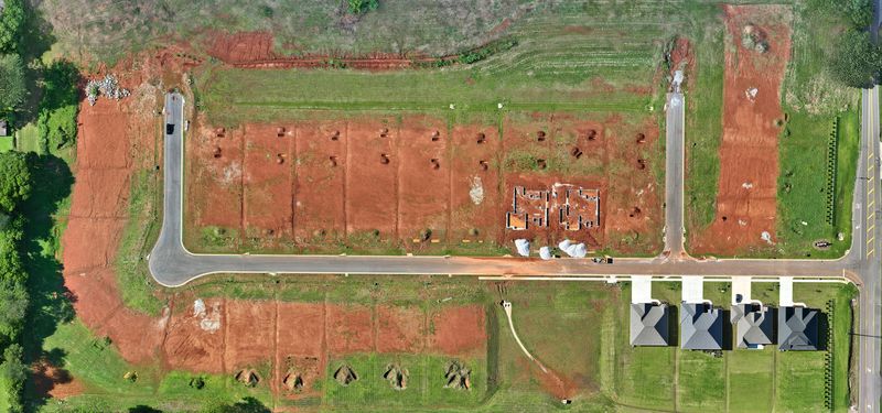
What You Actually Get From a Recurring Aerial Progress Flight
Why a dated top-down record beats scattered phone photos and status drive-bys.