
Aerial Mapping
What a Current-Condition Site Map Shows Before You Plan, Bid, or Break Ground
Most projects start with a picture of the site that is already out of date. The satellite view in an online map might be a year old. The last walk was before the brush was cleared, or before the neighboring lot started grading. Plans, bids, and mobilization decisions get made against a site that no longer quite exists.
A current-condition site map fixes the starting point. It is a recent, top-down map of the property as it actually looks on a specific date, so the people planning the work are all looking at the same ground.
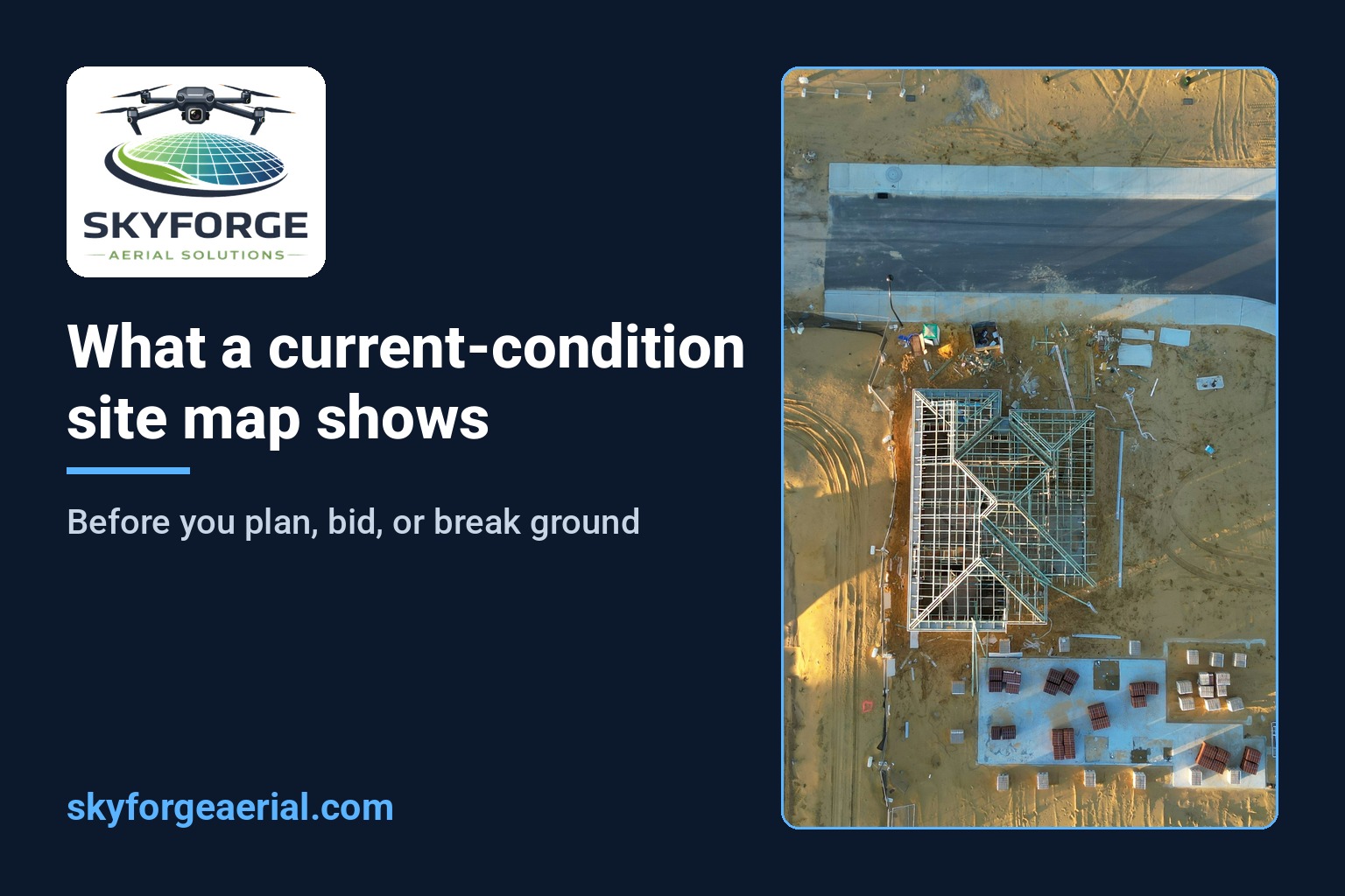
What a current-condition map is
It is an orthomosaic: hundreds of overlapping top-down images from a planned mapping flight, stitched into one georeferenced map of the whole site. You can zoom from the full property down to the detail of a drainage swale or a gate, and the date of the flight is part of the record.
It is not a set of drone photos, and it is not a licensed survey. It is a working map of existing conditions, built so a team can look, mark up, and decide.
What it shows that older imagery misses
Access as it is today. Entrances, haul routes, gates, curb cuts, and the spots where a truck would actually turn around.
Drainage and wet areas. Standing water, washouts, and low spots are easier to spot from above, especially after a rain.
What is already on the ground. Stockpiles, debris, existing pads, fencing, utilities you can see at the surface, and anything a previous contractor left behind.
Vegetation and clearing status. Tree lines, brush, and cleared areas as of the flight date, not as of the last satellite pass.
Neighbors and edges. Adjacent work, roads, and structures that affect staging, noise, dust, or traffic planning.
Who uses it, and when
Developers and owners use it before a planning meeting or a site decision, so the conversation starts from what is there instead of what someone remembers.
Estimators and GCs use it before a bid walk, so the walk can focus on questions instead of orientation.
Sitework and excavation teams use it before mobilization to think through access, laydown, and staging before the first machine arrives.
Project teams use it as day one of the project record. When repeat mapping starts later, the current-condition map is the baseline every future map gets compared against.
Turning the map into a planning tool
The map gets more useful once people mark it up. An annotated planning map adds simple notes on top of the orthomosaic: proposed access, laydown and staging areas, problem spots, and questions for the next meeting. Everyone sees the same marks on the same dated map, which beats a phone photo with an arrow drawn on it.
What to have ready when you ask for one
The site. An address, parcel, or pin drop, plus the rough area you care about.
The decision it supports. A bid, a design kickoff, a purchase decision, mobilization, or a baseline for progress mapping.
Timing. When you need it, and whether a fresh map after a weather event matters.
Who needs to open it. Shareable files that the office and the field can both open without special software.
Honest boundaries
SkyForge Aerial Solutions operates under FAA Part 107 with RTK-enabled collection (DJI Mavic 3 Enterprise with RTK). That supports clear, georeferenced site maps for planning and documentation.
We are not a licensed surveying or engineering firm. A current-condition map is decision support. It is not a boundary survey, a topographic survey, or a certified product, and it does not replace a licensed surveyor when one is required. We say that up front so the map gets used for what it does well.
A short way to start
Send the site location, the decision you are working toward, and when you need the map. That is enough to scope a current-condition map, and to plan repeat mapping later if the project moves forward.
SkyForge Aerial Solutions · Huntsville, AL
info@skyforgeaerial.com · (806) 674-4739 · skyforgeaerial.com
Veteran-owned · FAA Part 107
Educational content. SkyForge Aerial Solutions is not a licensed surveying or engineering firm. No customers, projects, or results are described in this article.